Surveying is a crucial step in construction, infrastructure, and environmental projects. Traditionally, this has involved manual methods, often requiring crews to access difficult or dangerous locations. However, drone surveys are transforming the industry, offering faster, safer, and more cost-effective solutions.

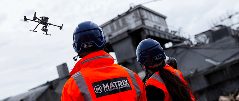
One of the most significant advantages of drone surveys is the reduced cost. Traditional surveys often involve high labour costs, requiring a team to physically access the survey area. For sectors like Rail, this means securing permits to close tracks, interrupting services, and incurring additional fees. With drones, these disruptions are minimised. Drones can be launched from safe locations, like the side of a road, without needing access to restricted or hazardous areas.
Additionally, drones reduce travel expenses and time on-site, as fewer personnel are required. This also minimises the need for expensive safety measures, such as scaffolding or harnesses, that are often essential in traditional surveys.

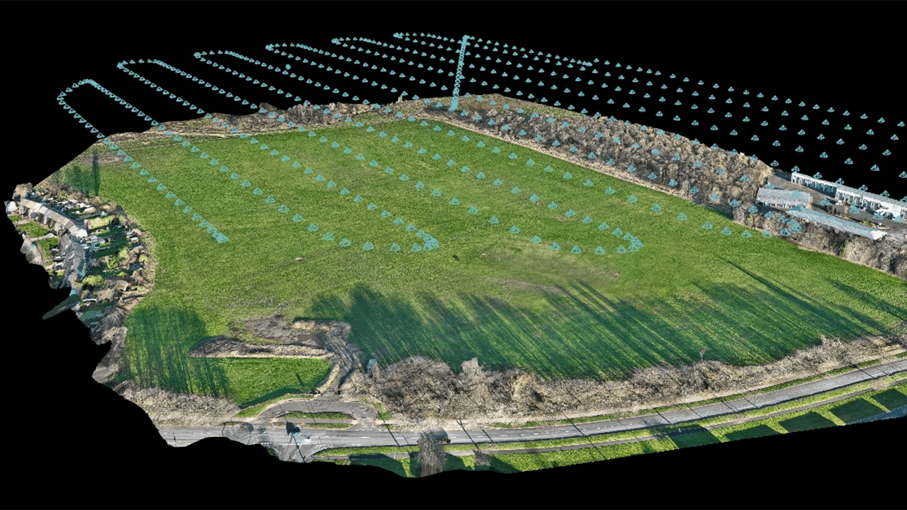
Drone surveys significantly reduce the time it takes to complete a project. Traditional surveys can take days or even weeks, depending on the complexity and accessibility of the area. Drones, however, can cover large expanses quickly, capturing high-resolution data in a fraction of the time. This efficiency leads to faster decision-making and project turnaround, which can ultimately reduce overall project costs.
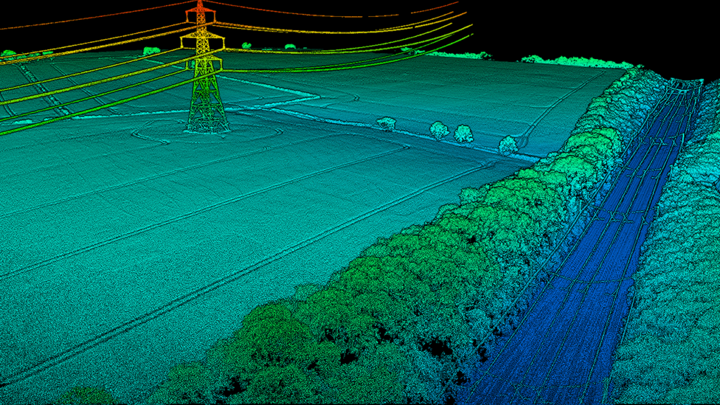
The data captured by drones is not only fast but highly accurate. Equipped with advanced imaging technology like LiDAR, drones can produce 3D maps and models, ensuring precise measurements that often surpass traditional methods. Additionally, drones can safely survey dangerous or difficult-to-reach locations, such as cliffs, railways, or tall structures, eliminating the risk to human surveyors.

While traditional surveys still have their place, particularly for highly specific or intricate measurements, drone surveys offer undeniable benefits in terms of cost, speed, safety, and accuracy. If your project involves large, hard-to-reach areas, or if minimising disruption is a priority, drones could be the perfect solution.
Ultimately, choosing between drone and traditional methods depends on your project’s specific needs, but for many modern projects, drones are proving to be a smarter, more cost-effective choice.
Please fill in the form and we will get back to you as soon as possible to discuss your new project.
When culverts reach the end of their service life, one of the most common intervention
Read More >>
In city centre developments, there’s often a delicate balance between preserving historic architecture and delivering
Read More >>
At Matrix Consulting Engineers, we bring civil, structural, and digital engineering expertise together to deliver
Read More >>