


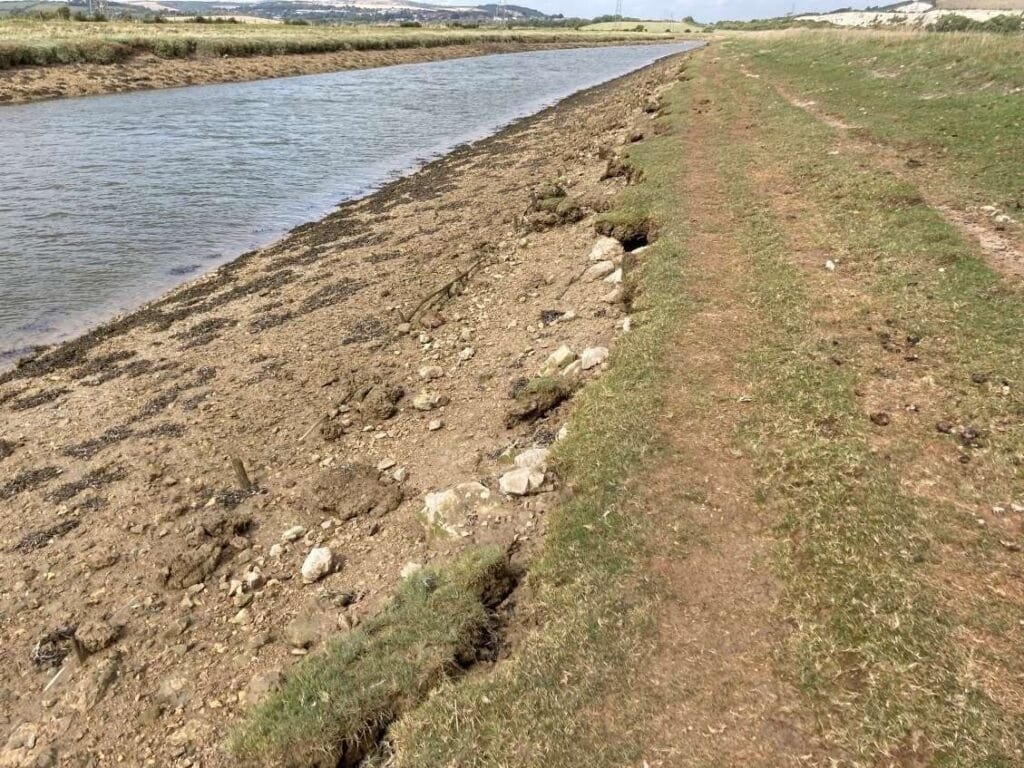
The flood embankments of the tidal River Ouse below Lewes protect the surrounding floodplain, but decades of scour had destroyed the timber pole-wharfing revetments: banks were undermined with vertical faces up to 900mm high, slab and slip failures were widespread, and trampling by grazing animals and footpath erosion had cut low spots into the defence crest. Engaged by AmcoGiffen under the Environment Agency’s Solent & South Downs reconditioning programme, MCE assessed and repaired around 5km of embankment between Ranscombe outfall and Ivors Lane.
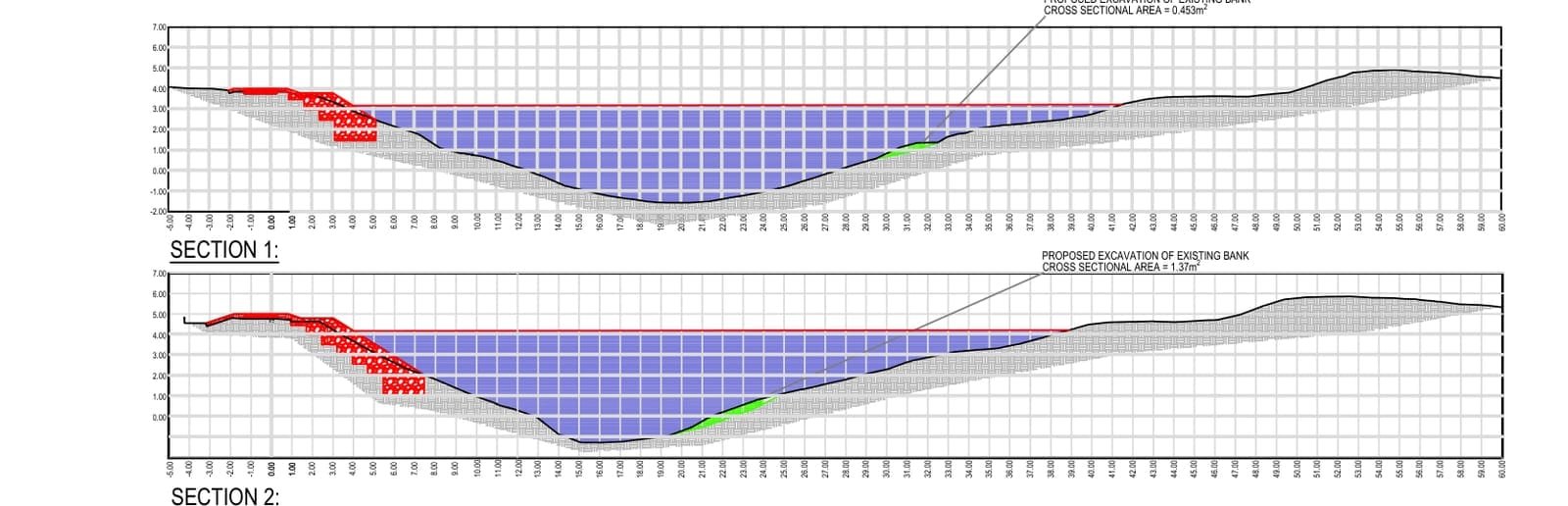
MCE’s condition survey graded each reach against the EA’s deterioration tables, assessed residual life and set risk-based repair deadlines to LIT 12506, flagging Reaches C and D for urgent action. Because the site sits within the South Downs National Park beside the Lewes Brooks SSSI, hard ‘grey’ defences were not acceptable, so the options appraisal was restricted to natural bank-protection methods. The repair design re-profiled the clay core to EA target levels with separator geotextile, granular fill and 1:3 slopes, reinstated the crest footpath, and stabilised the eroded Phase 2B riverbank with an armourstone revetment toe-keyed below bed level, with equivalent de-silting of the opposite bank so channel capacity was never reduced.
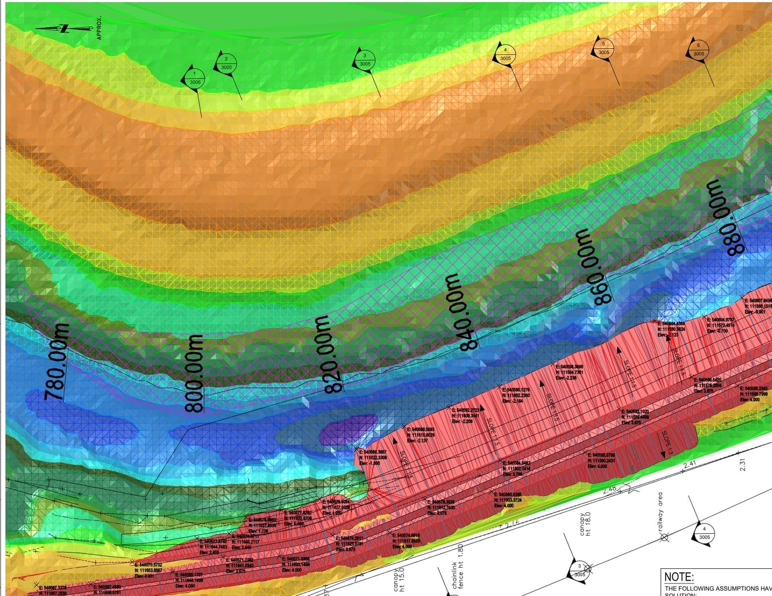
Working from digital terrain models of each phase, MCE issued cut/fill volumes, staged construction sequences and buildability statements for a site with a single constrained access track squeezed between river and railway, then supported construction through EA comment cycles, urgent interim works and phase re-designs to as-built records in 2024. The defence crest is back to target level and the worst erosion is arrested, delivered without a single hard defence intruding on the National Park.