Leading-edge photogrammetry and LiDAR surveying services by Matrix Consulting Engineers
Matrix Consulting Engineers specialises in Cloud Point Surveying, delivering accurate Point Cloud Measured Surveys. Our advanced BIM Survey techniques ensure precise data collection and seamless integration into Building Information Modelling (BIM), creating detailed 3D models that facilitate informed decision-making and efficient project management.
Utilising cutting-edge LiDAR technology, our Cloud Point Surveying process captures millions of data points to create a highly detailed 3D representation of your site. This data is meticulously processed to generate comprehensive Point Cloud Measured Surveys, allowing for precise measurements and thorough analysis. Our skilled team ensures accuracy throughout the survey process, from initial data capture to final deliverables, guaranteeing reliable results for your project.


The drone captures the terrain, distinguishing between the environment and the ground.


We employ state-of-the-art LiDAR scanners to capture detailed point cloud data. Time is of the essence in any project. Our drones cover large areas quickly, significantly reducing survey times compared to traditional methods, and providing you with crucial data without delay.
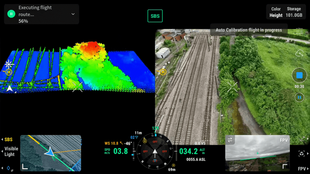
The raw data collected during the Cloud Point Survey is processed using advanced software to create precise 3D models. This involves cleaning, aligning, and converting the point cloud data into detailed geometric shapes and surfaces, which can then be integrated into Building Information Modelling (BIM) systems for accurate planning and project management.
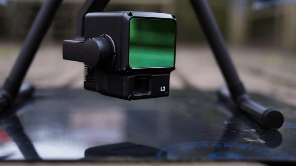
Every survey undergoes rigorous quality checks to ensure accuracy and reliability. This includes thorough verification of data integrity, cross-referencing with known benchmarks, and meticulous validation processes to guarantee that the final deliverables meet the highest industry standards.
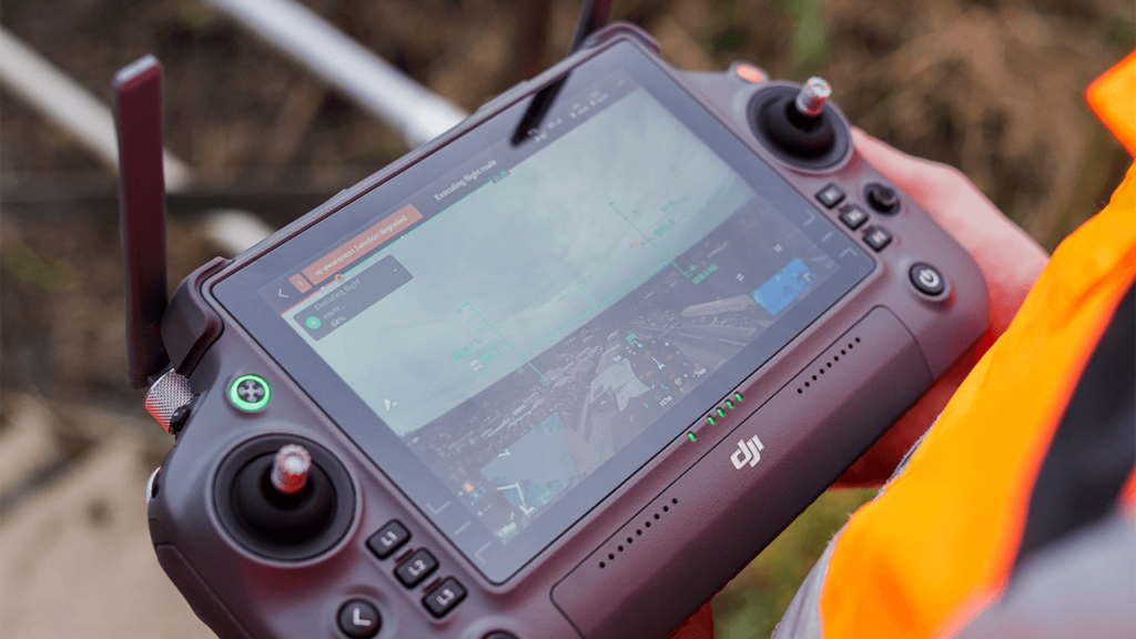
We provide comprehensive deliverables, including highly detailed 3D models and extensive survey reports. These deliverables encompass precise measurements, thorough analyses, and visual representations, ensuring that all aspects of the surveyed site are accurately documented and easily accessible for project planning and execution.
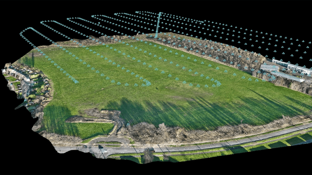
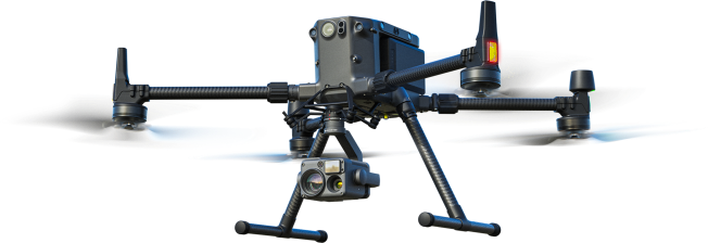
Our commitment to these standards guarantees that every Cloud Point Survey meets the highest levels of accuracy, reliability, and consistency, providing you with the confidence to move forward with your projects efficiently.



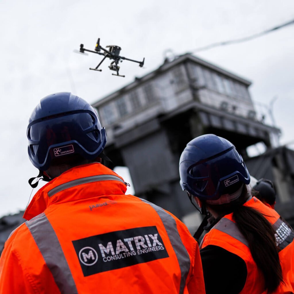
Transform your approach to surveying and project management with Matrix Consulting Engineers. Our drone photogrammetry and LiDAR services bring accuracy, efficiency, and safety to your projects, allowing you to achieve superior results. Contact us today to learn how our advanced aerial surveying solutions can benefit your next project. With Matrix Consulting Engineers, the sky is not the limit—it’s your advantage.
Please fill in the form and we will get back to you as soon as possible to discuss your new project.