
Photogrammetry Survey
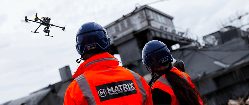
Precision Data Acquisition through Advanced Drone Photogrammetry
for Accurate 3D Mapping and Surveying
Photogrammetry Surveying Services by Matrix Consulting Engineers
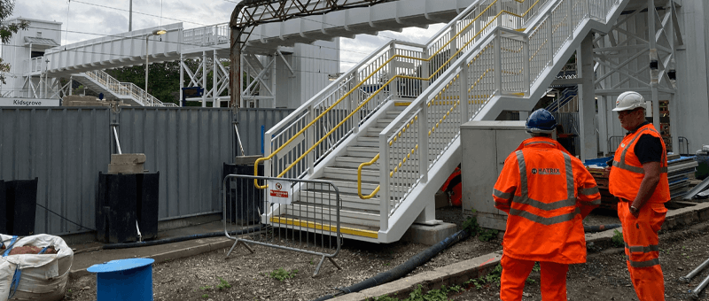
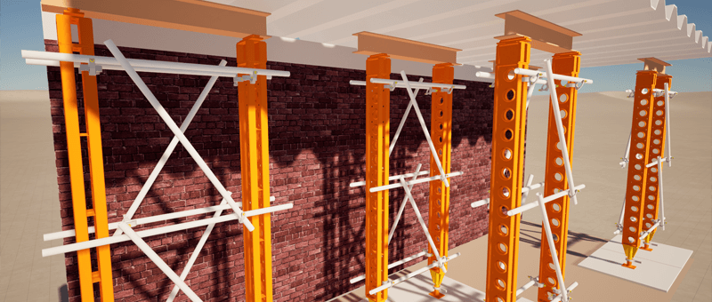
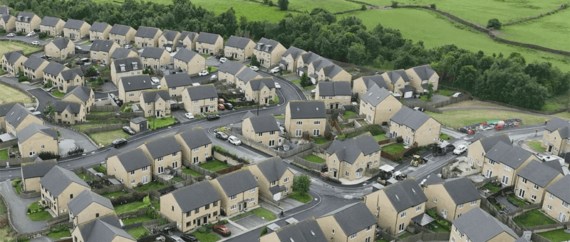
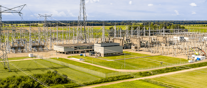
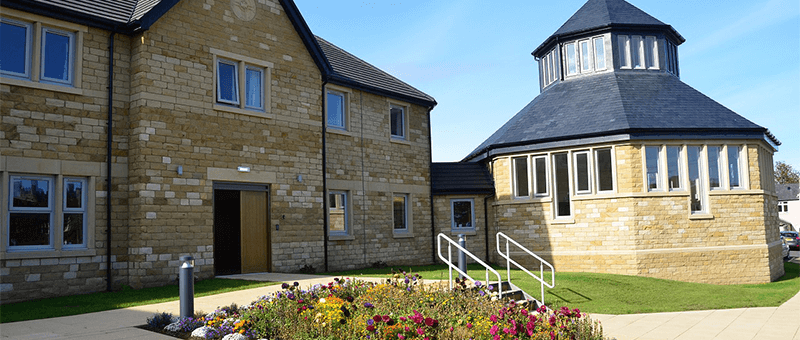
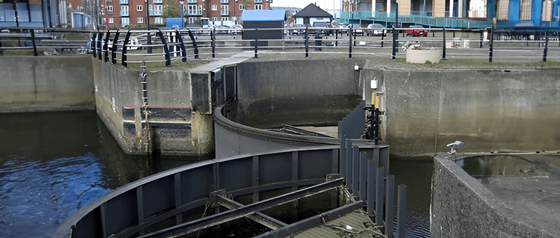
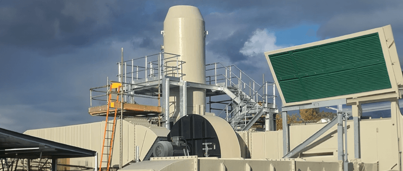
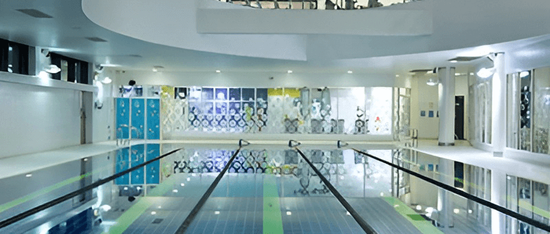
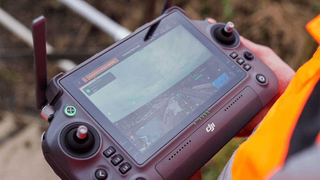
Matrix Consulting Engineers is at the forefront of photogrammetry surveying, combining state-of-the-art technology with in-depth industry expertise. Our services leverage drone photogrammetry and aerial photogrammetry to capture precise spatial data, transforming it into detailed, highly accurate 3D models and maps. Whether for construction, urban planning, or infrastructure management, our photogrammetry scanning services are designed to deliver unmatched precision, helping clients visualise and manage their projects effectively.

Our Photogrammetry Surveying Process: How We Deliver Accuracy and Precision
High-Quality Surveys Aligned with Industry Standards
Why Choose Matrix Consulting Engineers for Photogrammetry Surveying?
By partnering with Matrix’s surveying team, clients benefit from:
- Cost and schedule efficiency through comprehensive planning and digital modeling
- Optimal structural performance and longevity with innovative design approaches
- Enhanced safety and compliance with current codes/standards
By choosing Matrix Consulting Engineers for your photogrammetry surveying needs, you gain a reliable partner committed to delivering precision, compliance, and efficiency.
READY TO START YOUR NEW PROJECT?
Please fill in the form and we will get back to you as soon as possible to discuss your new project.