Cutting edge photogrammetry and LiDAR surveying services

Time is of the essence in any project. Our drones cover large areas quickly, significantly reducing survey times compared to traditional methods, and providing you with crucial data without delay.

Drone surveys are not only faster but also more cost-effective. By minimising the need for extensive manual survey teams and reducing project timelines, we help you save on both time and expenses.

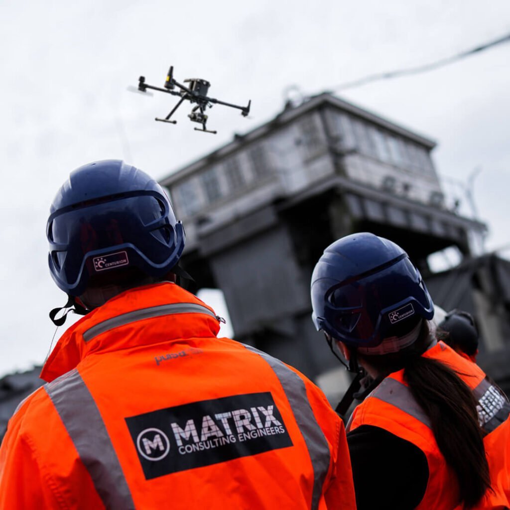
Conduct surveys in hazardous or difficult-to-access areas without putting survey teams at risk. Our drones can safely and efficiently gather data from above, ensuring complete coverage without the need for dangerous fieldwork.

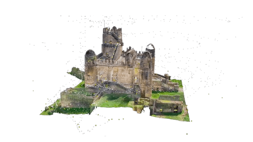
Receive detailed, high-resolution images, 3D models, and accurate datasets that offer insights and clarity for your project, enabling precise planning, design, and execution.


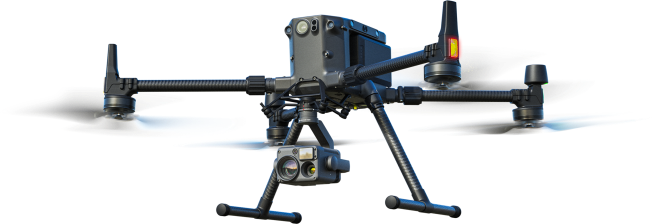
At Matrix Consulting Engineers, we harness the power of cutting-edge drone technology to offer comprehensive photogrammetry and LiDAR surveying services. Our skilled team of civil engineers and surveyors utilises advanced drones equipped with state-of-the-art cameras and LiDAR sensors to capture high-resolution images and precise data from the air. Transform your project’s planning, design, and monitoring processes with unparalleled accuracy and efficiency.
Drone photogrammetry and LiDAR offer a revolutionary approach to capturing detailed geographic information, allowing for highly accurate maps and models of any terrain or structure. Whether it’s for construction, environmental monitoring, urban planning, or infrastructure projects, our services provide essential data that can significantly enhance decision-making and project outcomes.


Transform your approach to surveying and project management with Matrix Consulting Engineers. Our drone photogrammetry and LiDAR services bring accuracy, efficiency, and safety to your projects, allowing you to achieve superior results. Contact us today to learn how our advanced aerial surveying solutions can benefit your next project. With Matrix Consulting Engineers, the sky is not the limit—it’s your advantage.
Please fill in the form and we will get back to you as soon as possible to discuss your new project.

Matrix Consulting Engineers
The Business Village,
Innovation Way, Barnsley,
S75 1JL
Tel: 0333 014 2926
Email: info@matrixce.co.uk
