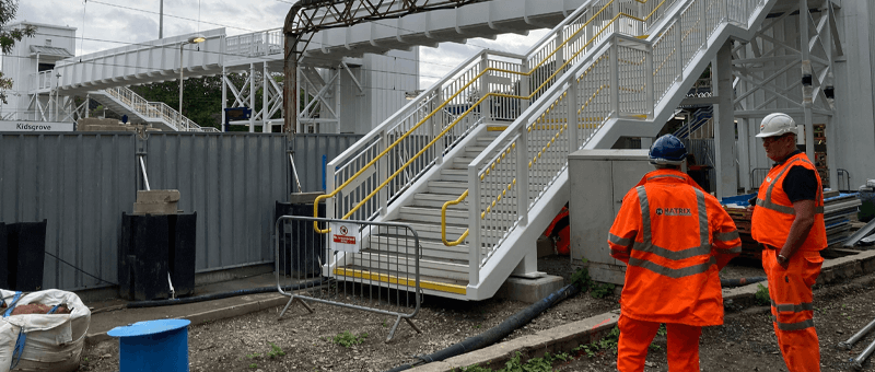
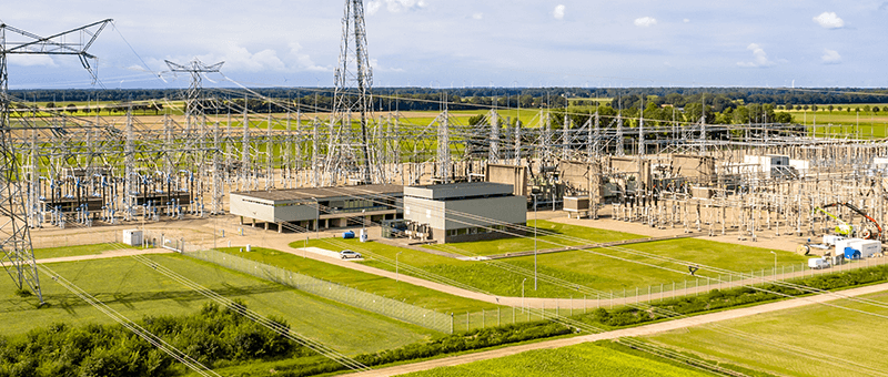
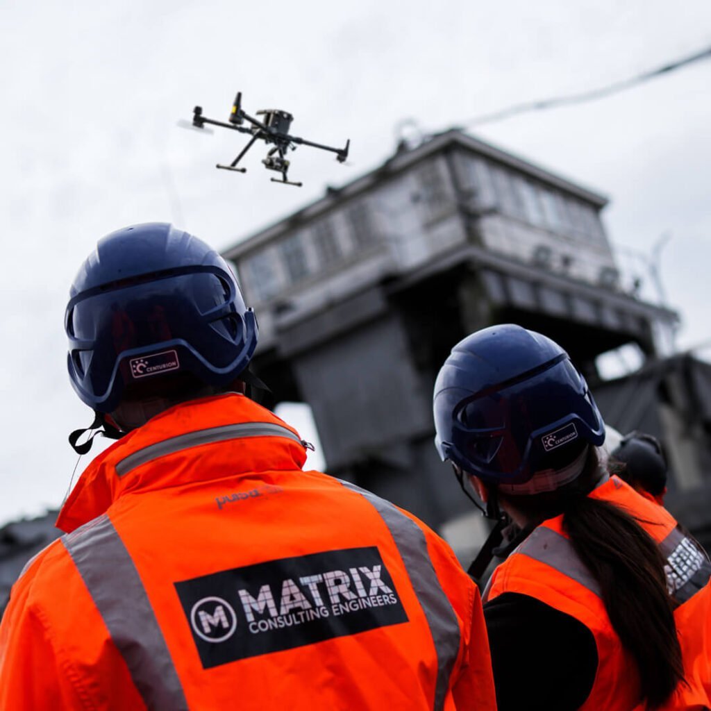
Matrix Consulting Engineers offers advanced UAS Drone Surveying services, also known as UAS Surveys or Aerial Surveys. Our Drone Surveying services provide precise and efficient site analysis, offering accurate data for various project needs. Whether for construction planning, environmental monitoring, or infrastructure assessment, our Drone Site Investigation ensures comprehensive site evaluations with high precision.
Advanced Methodology
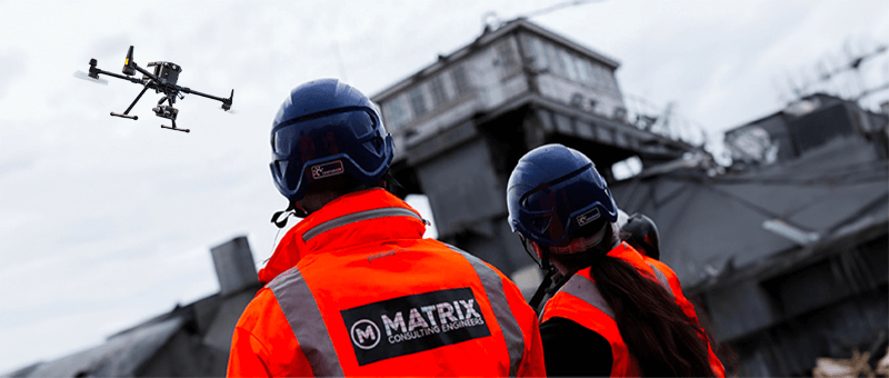
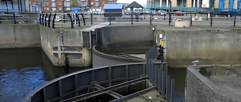
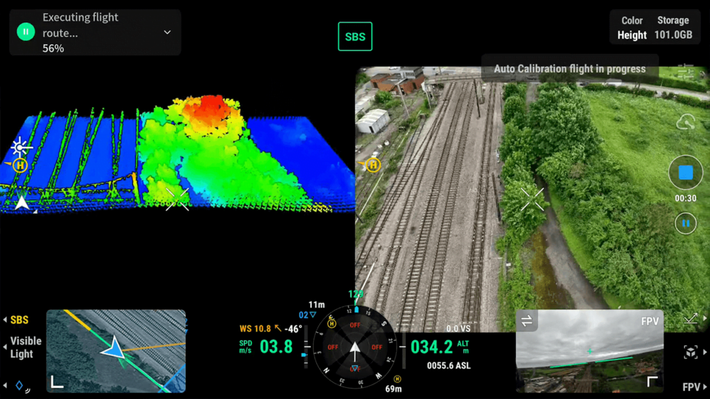
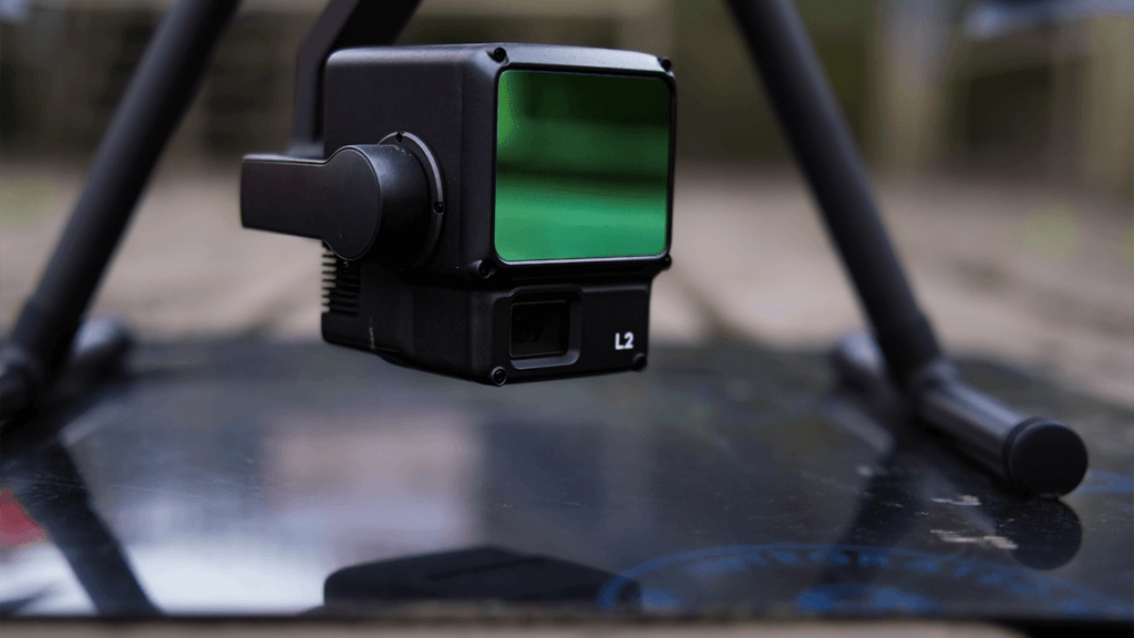
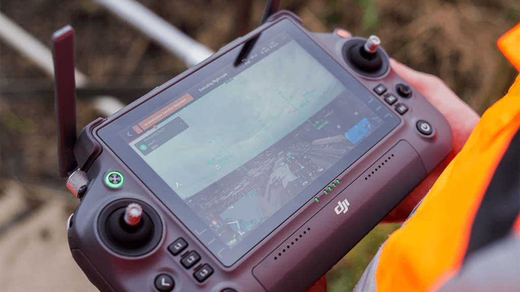
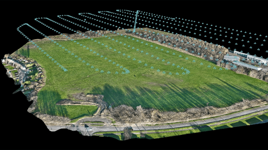
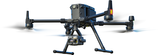
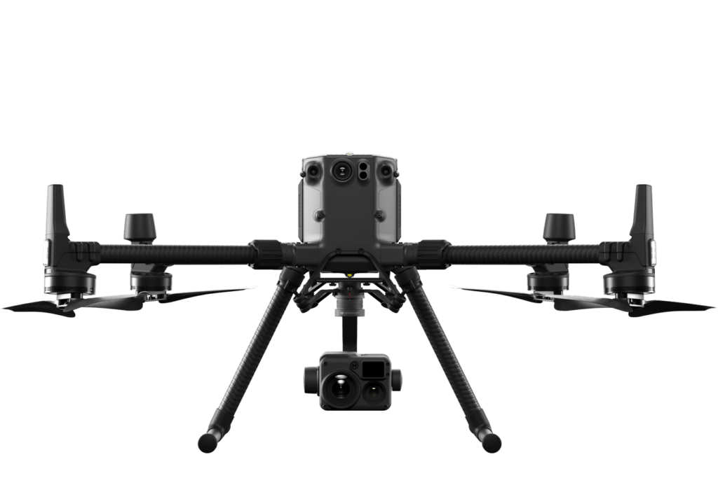
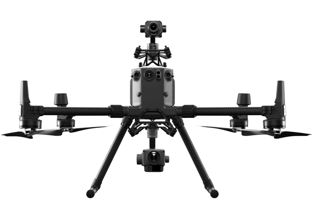
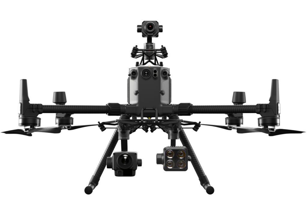
Our Drone Survey methodology incorporates state-of-the-art UAV technology, operated by certified professionals. Here’s how we conduct our surveys. L2 LiDAR scanning paired with drones has revolutionised the way large areas of ground are surveyed, allowing for the efficient generation of detailed point cloud models. In a blog post detailing the benefits of this technology, one could cover several key advantages.
The drone captures the terrain, distinguishing between the environment and the ground.
High AccuracyScanning
L2 LiDAR systems provide accurate distance measurements by emitting laser pulses and measuring the time it takes for them to return after hitting objects. When mounted on drones, these systems can capture precise 3D data points, resulting in highly accurate point cloud models.
Fast DataCollection
Drones equipped with L2 LiDAR scanners can cover large areas quickly and efficiently. This rapid data collection allows for the generation of detailed point clouds in a fraction of the time compared to traditional surveying methods.
HighlyVersatility
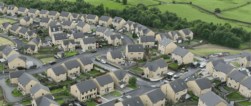
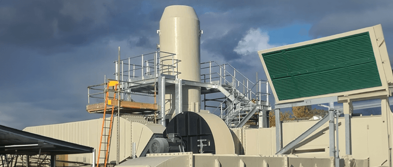
The combination of drones and L2 LiDAR scanning is versatile and can be used in various industries such as agriculture, construction, forestry, and infrastructure monitoring. This adaptability makes it a valuable tool for a wide range of applications.
Cost-EffectiveSolution
While LiDAR technology was once prohibitively expensive, advancements in drone technology have made L2 LiDAR scanning more affordable and accessible. This cost-effectiveness allows organisations to gather high-quality data without breaking the bank.
EnhancedSafety
Utilising drones for L2 LiDAR scanning reduces the need for ground personnel to survey potentially hazardous or hard-to-reach areas. This improves overall safety by minimising the risk of accidents and injuries during data collection.
DetailedAnalysis
Point cloud models generated from L2 LiDAR data can be used for detailed analysis, such as volumetric calculations, terrain mapping, and infrastructure inspection. The rich dataset captured by these systems provides valuable insights for decision-making processes.
The benefits of using L2 LiDAR scanning with drones to cover large areas of ground are numerous, ranging from high accuracy and fast data collection to cost-effectiveness and enhanced safety. This powerful combination of technologies is transforming the way we survey and model our environment, opening up new possibilities across various industries.
Standards & Compliance: Adhering to Industry Best Practices
Matrix Consulting Engineers strictly follows industry standards and regulatory requirements, ensuring our operations are safe, legal, and reliable. Our drone surveys comply with Civil Aviation Authority (CAA) regulations, guaranteeing the safety and legality of our operations. Additionally, we adhere to ISO 9001 for quality management and ISO 19650 for information management, ensuring the highest standards of data integrity and project execution.
ISO 9001: Ensuring robust Quality Management Systems for consistent service delivery.
ISO 19650: Achieving BIM Level 3 compliance for effective Building Information Modelling.
Choose Matrix Consulting Engineers for your Drone Surveying needs and benefit from our expertise, precision, efficiency, and commitment to compliance in every project. Our innovative approach ensures that we deliver outstanding results tailored to meet your specific requirements.
READY TO START
YOUR NEW PROJECT?
Please fill in the form and we will get back to you as soon as possible to discuss your new project.