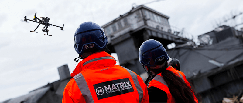
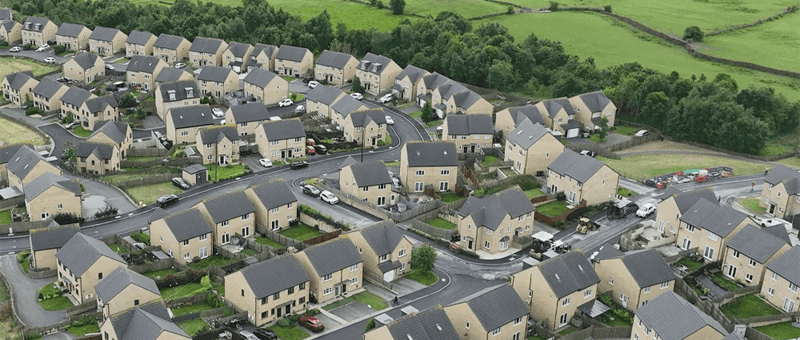


We are pleased to announce our in-house capability as a commercial drone operator. Complementing our traditional surveying techniques, it lets us offer a higher level of service on sites that are difficult to access.
What we can now do from the air
- Visual inspections
- Topographical surveys
- Photogrammetry
- LiDAR scanning
GVC certified. Our director Liam Hoyland completed a drone course with Drone Pilot Academy Ltd and, after his final flight assessment, is now a GVC certified pilot.

Got a Site That Is Hard to Reach?
If you have an asset that is awkward, unsafe or expensive to survey from the ground, a drone survey is often the quicker answer. Email info@matrixce.co.uk or call 0333 014 2926, or get in touch through the contact page.